Put aerial data to WORK
-
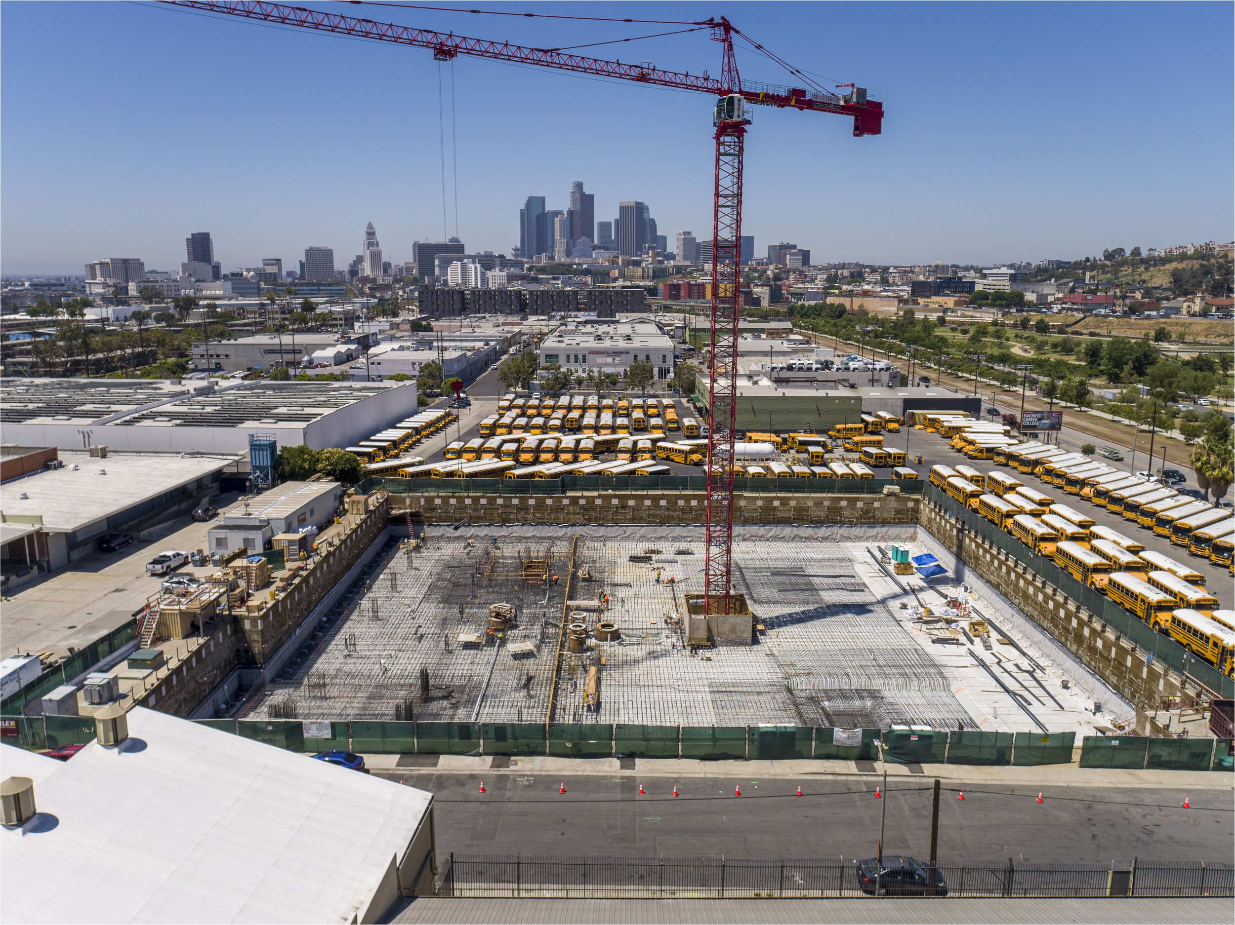
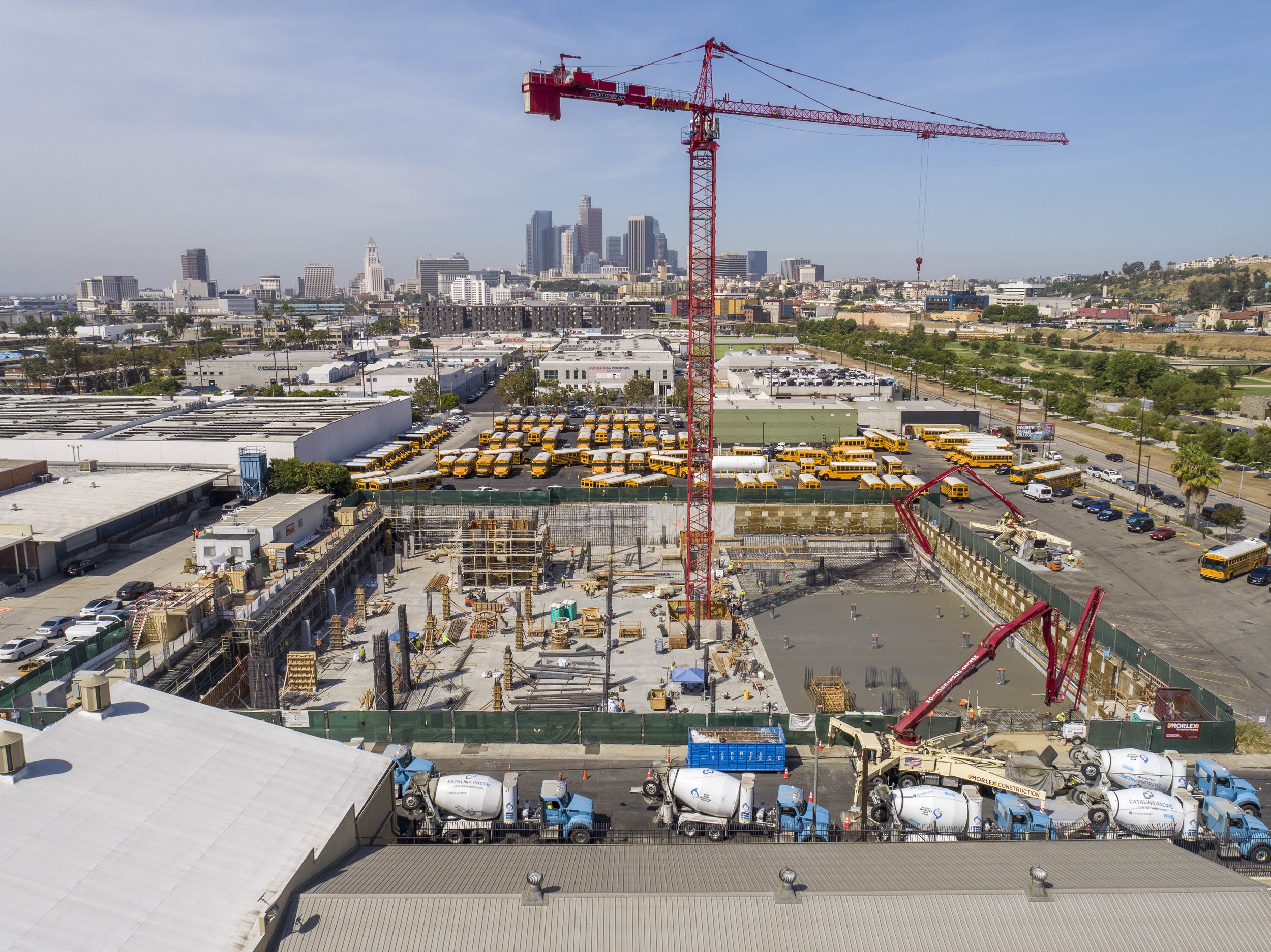
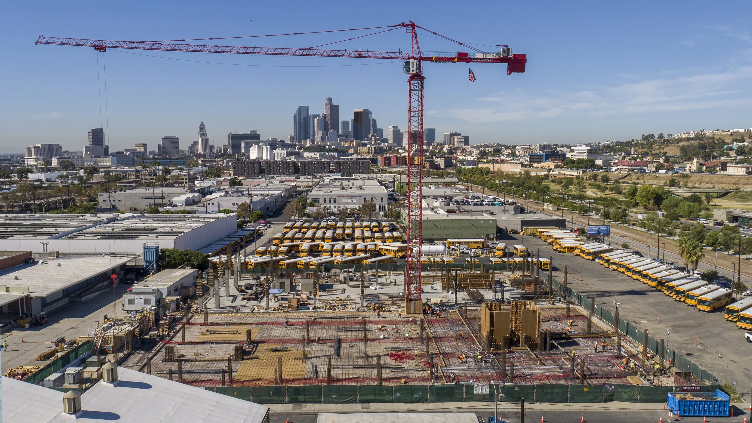
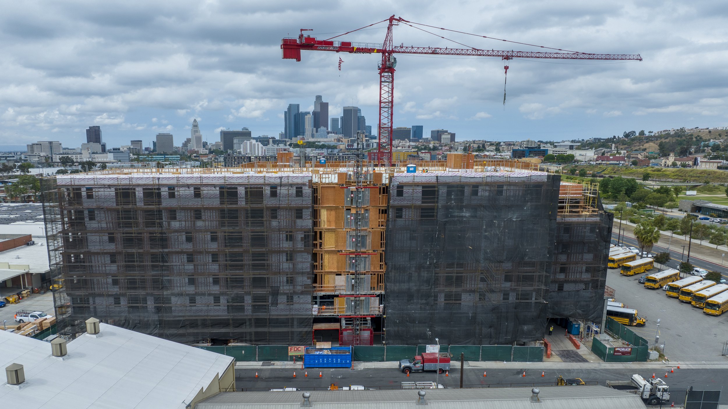
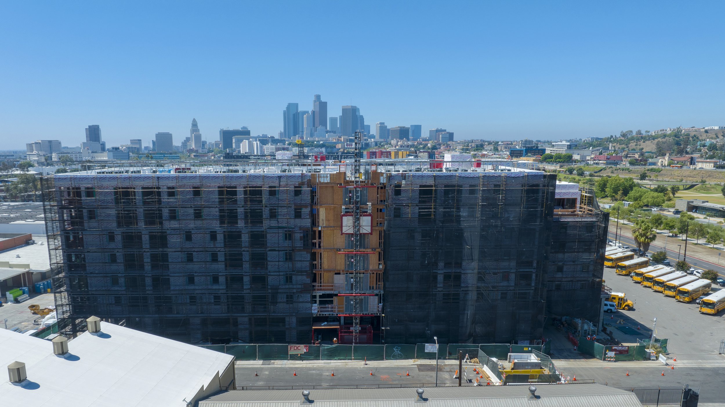
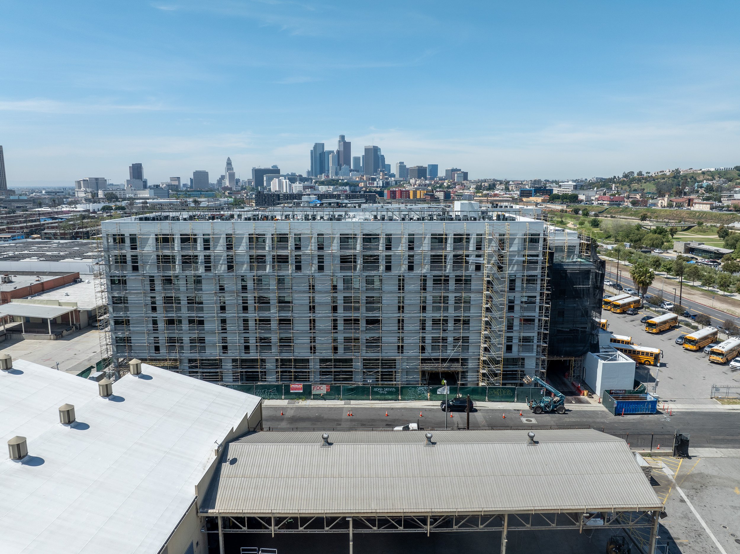
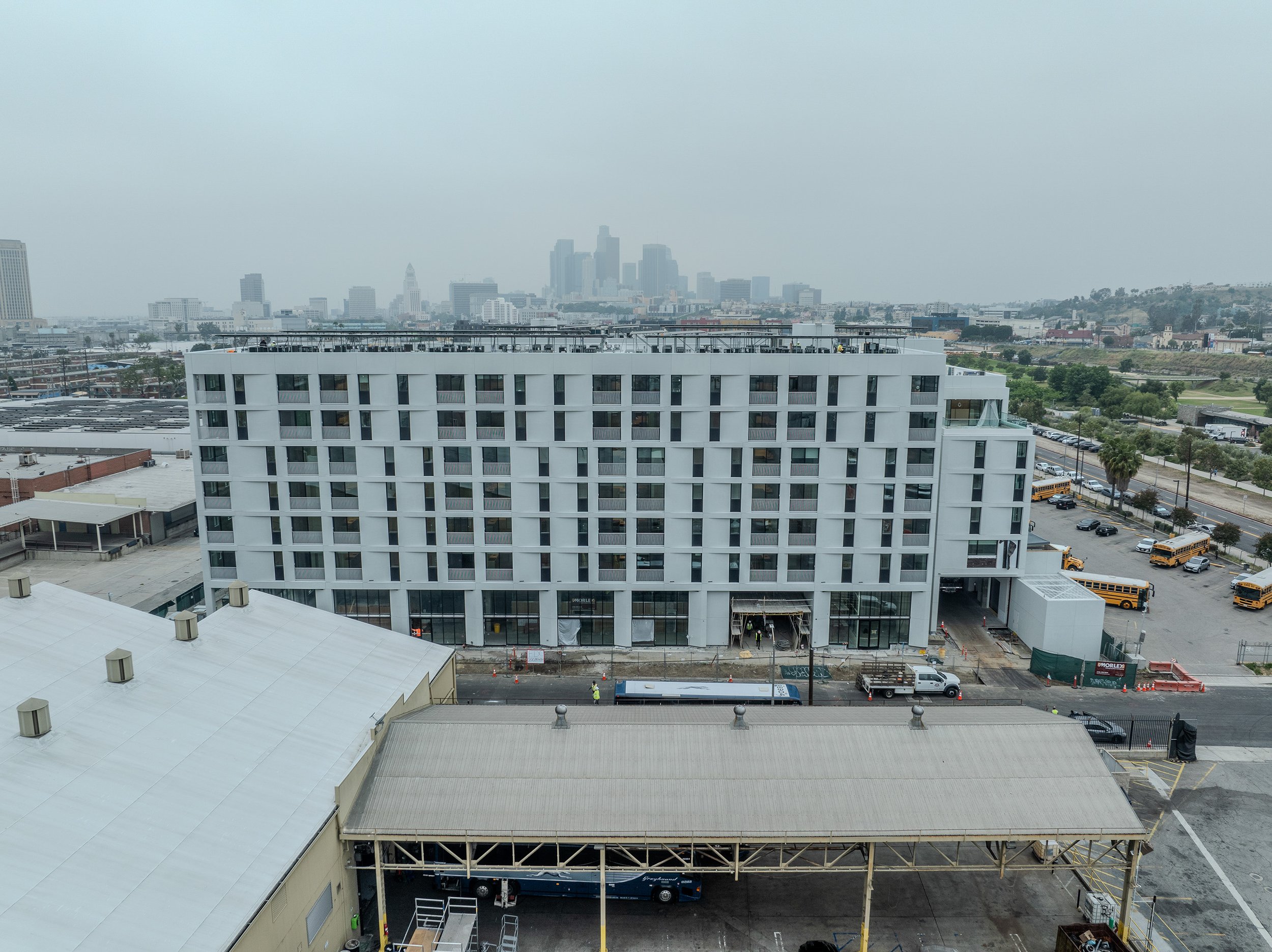
Progress monitoring - photography/videos/time lapses/virtual tours
Photogrammetry & LiDAR - as-built digital twins
Flight planning for repeatable data capture
Site mapping - 2D maps (.geotiff), 3D models (.obj), point cloud (.las. .xyz), contours (.shp), elevation models (.dem) other formats may also be available
RTK and PPK workflow for high spatial accuracy
Site security via remote drone operations (pending FAA approvals)
Airspace authorization/waiver processing
-
Pre-construction condition site assessment - Visual "time-stamp" before any work is done - we look at facade and pavement condition around the site and can help with site access and management decisions
BIM integration - As-built models and maps of PT cables or rebar before pours, HVAC, electrical lining, plumbing lines
Land mapping for environmental assessments, cut/fill estimates, water flow simulation
PR and Marketing material - Time lapses
Site security using autonomous systems (still pending FAA approvals)
Visual documentation in case of liability claims
Access to dangerous or hard-to-get locations for inspections
Additional use of data - plant health monitoring and count, stockpile volume calculation, environmental changes
-
Speed of service - data available within 24 hours....we usually do it quicker
Competitive pricing - price per visit starts at $400 - contact us for a quote
Licensed team - our pilots/photographers are experienced professionals
Perfect safety record
With more than 10 years of experience with drone photography our clients can expect the service
Visual documentation in case of liability claims
Access to dangerous or hard-to-get locations for inspections
Additional use of data - plant health monitoring and count, stockpile volume calculation, site security
-
Every construction project requires specific approach. You can choose between a single visit or reoccurring data capture. Our team will consider airspace restrictions and other risk factors and get back with a quote. For the repeating visits, our specialist will visit the site and design a safe, effective, and repeatable workflow.
Drones in construction deliver a new layer of useful information throughout the entire process. From automated progress monitoring to photorealistic 3D models and detailed point clouds, our digital twins will bring your next project to life with BIM integration. Our team will design and execute repeatable and effective data acquisition plans and bring you the information you need.
Our standard workflow
Our clients can choose between a one-time visit or recurring data capture.
Single visit service
Photography - aerial/ground
Video - raw and/or edited
LiDAR and Photogrammetry with or without ground control
360° panoramas for virtual tours
Prices start at $400
Recurring data capture
Progress photography & video with RTK mapping
Add 360° panoramas for an immersive visual experience
Hi-resolution sensors for rebar and PT cable scans
Time lapse footage
Prices start at $4,000/annually
Safety
All our operations are planned according to the local and FAA regulations. Our pilots are FAA-certified. Safety in the air and on the ground is the single most important factor of all our operations. Therefore, specific flight plans and scope of available deliverables may vary from project to project based on our safety analysis.
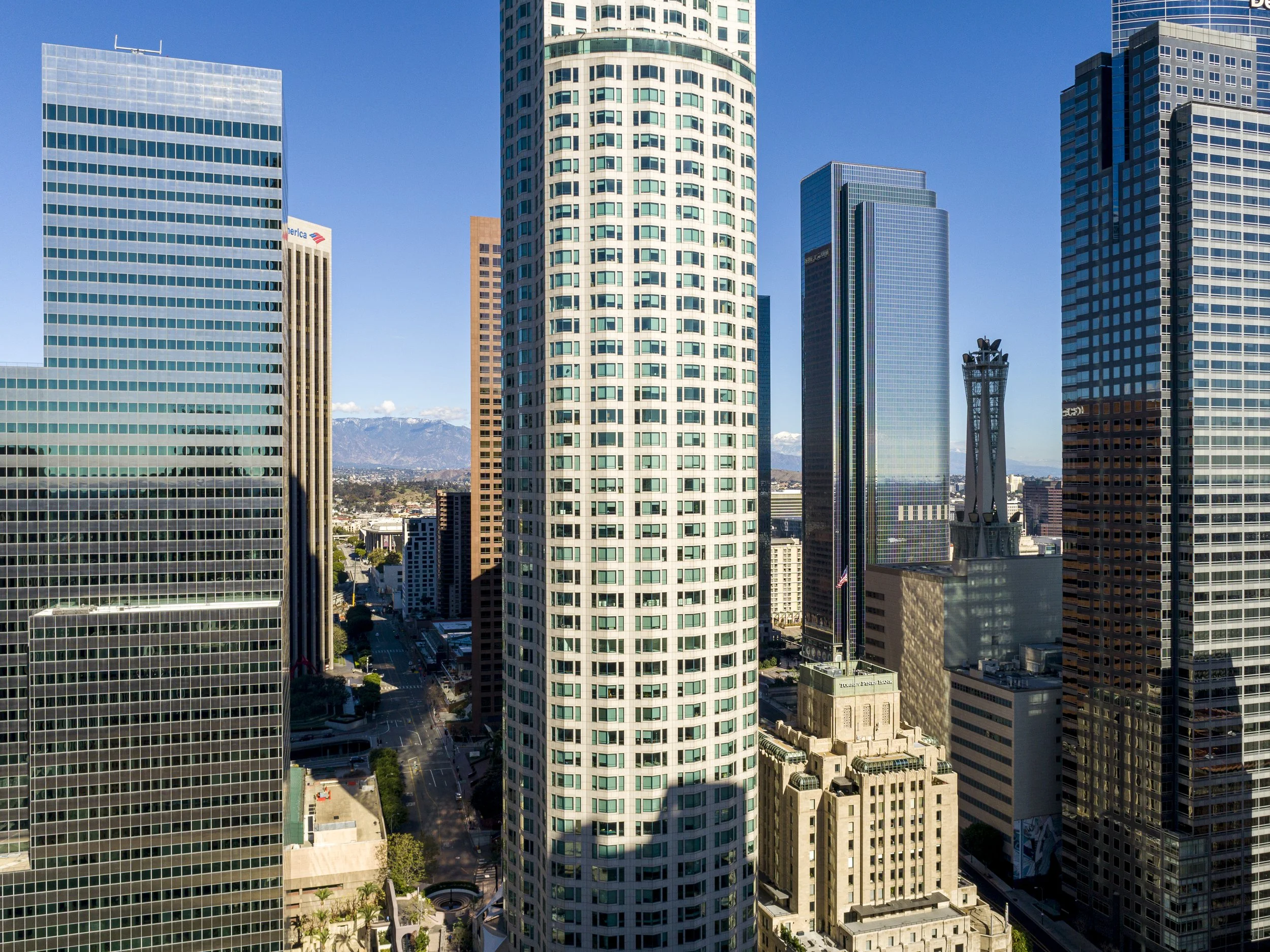
WE CAPTURE PROGRESS

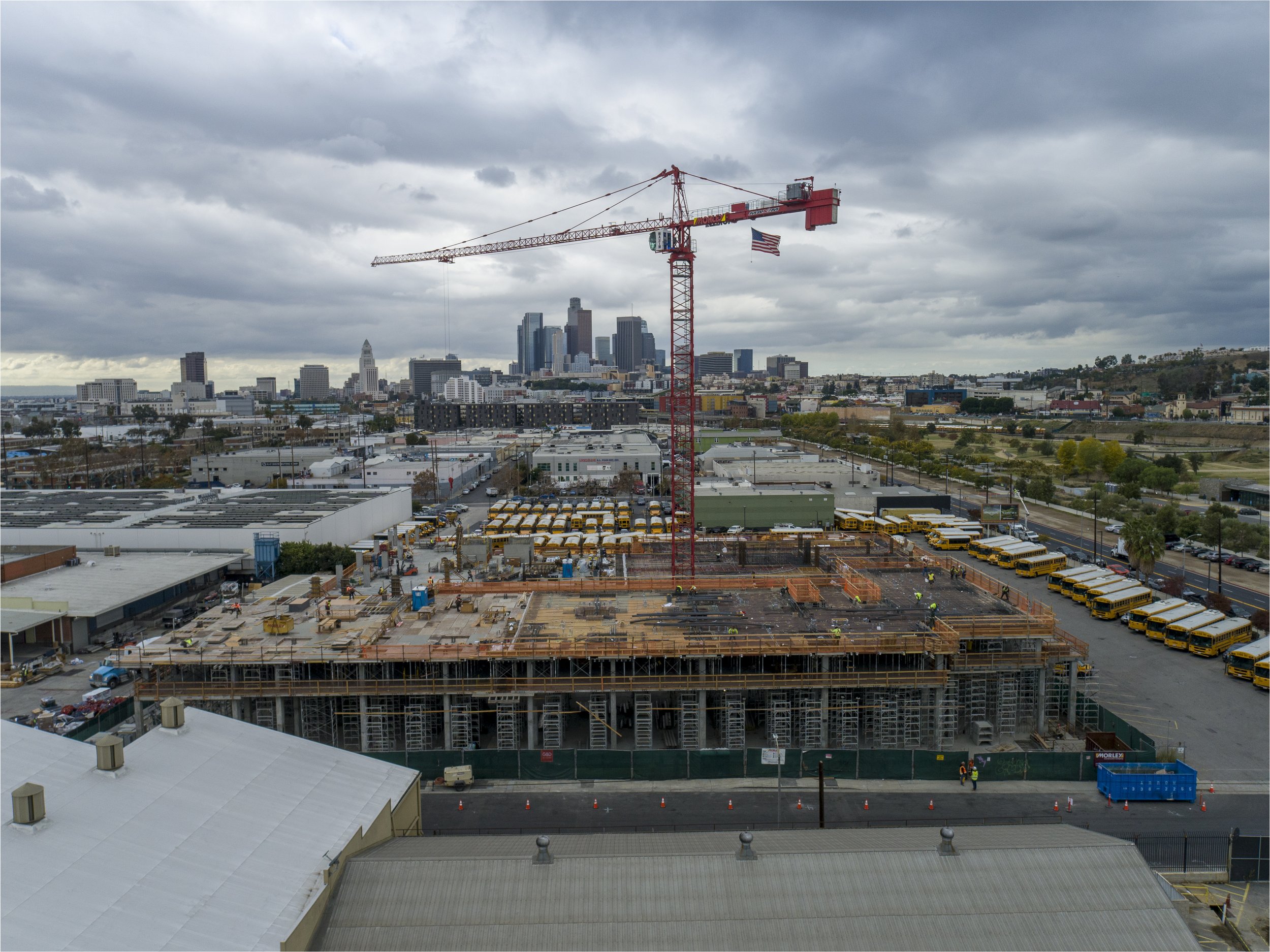
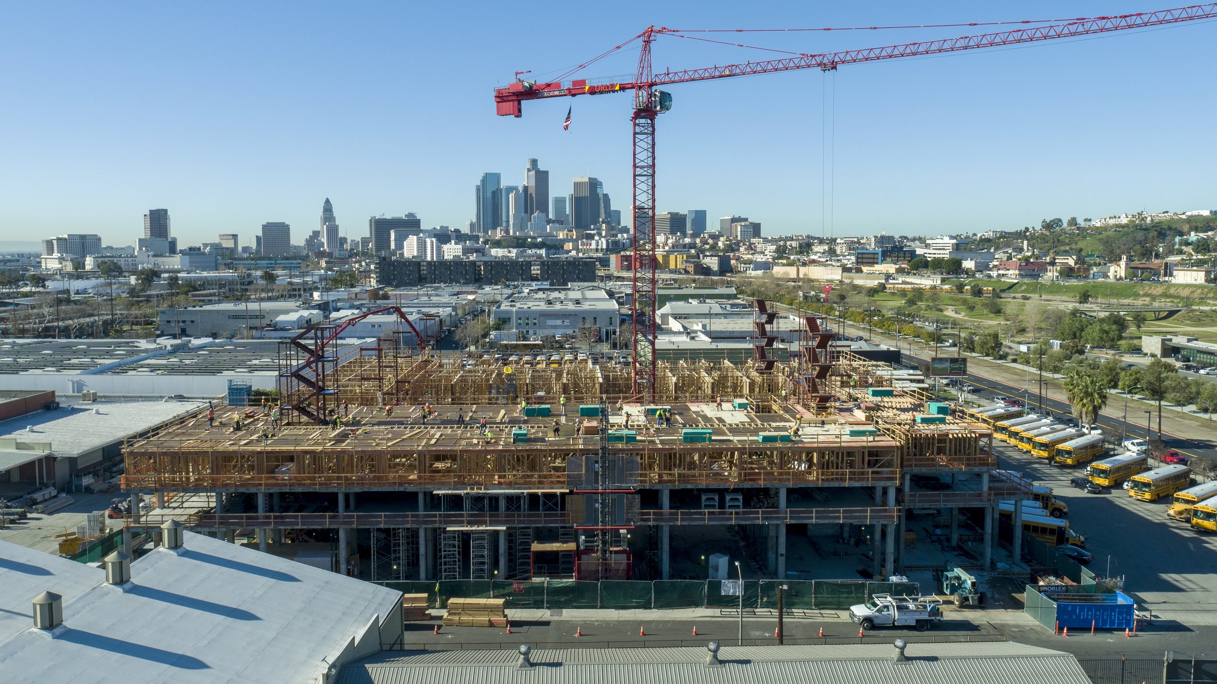
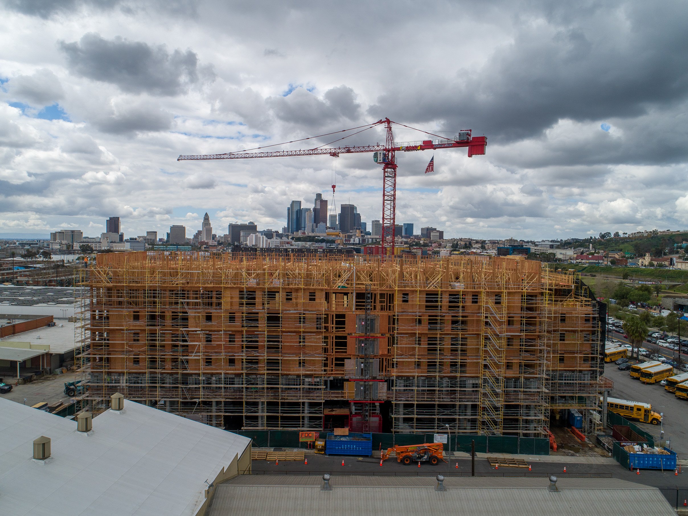
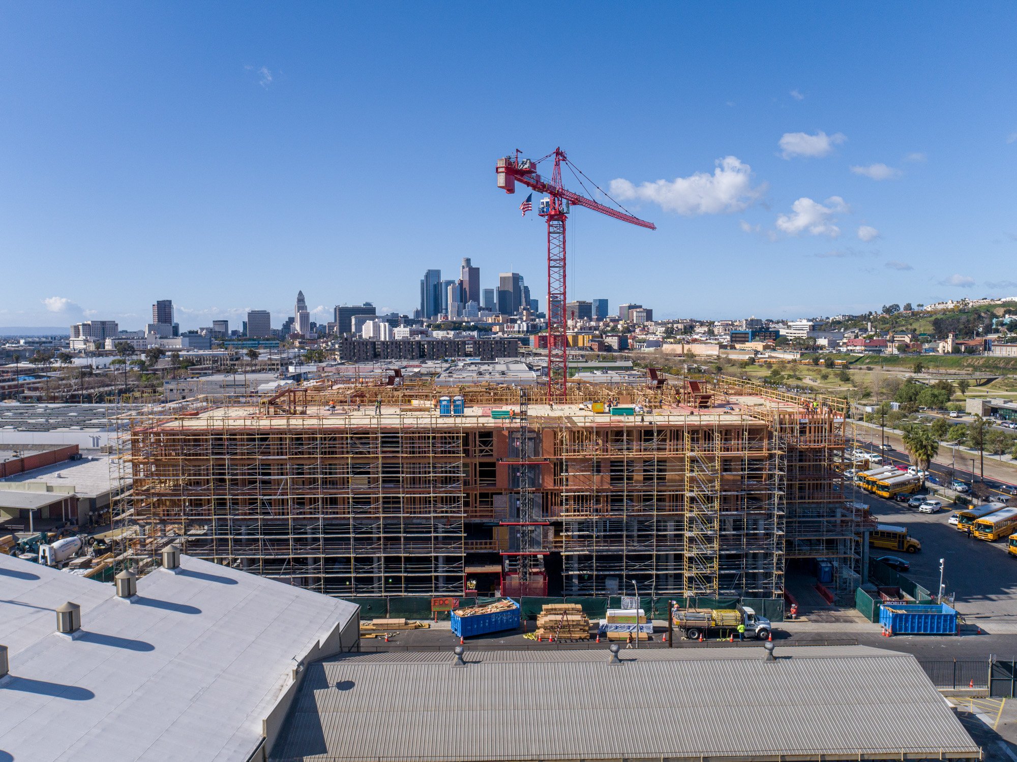
and DETAIL
