VISUAL UP-T0-DATE INFORMATION FOR PROPERTY OWNERS, MANAGERS, OR MAINTENANCE CREWS
-
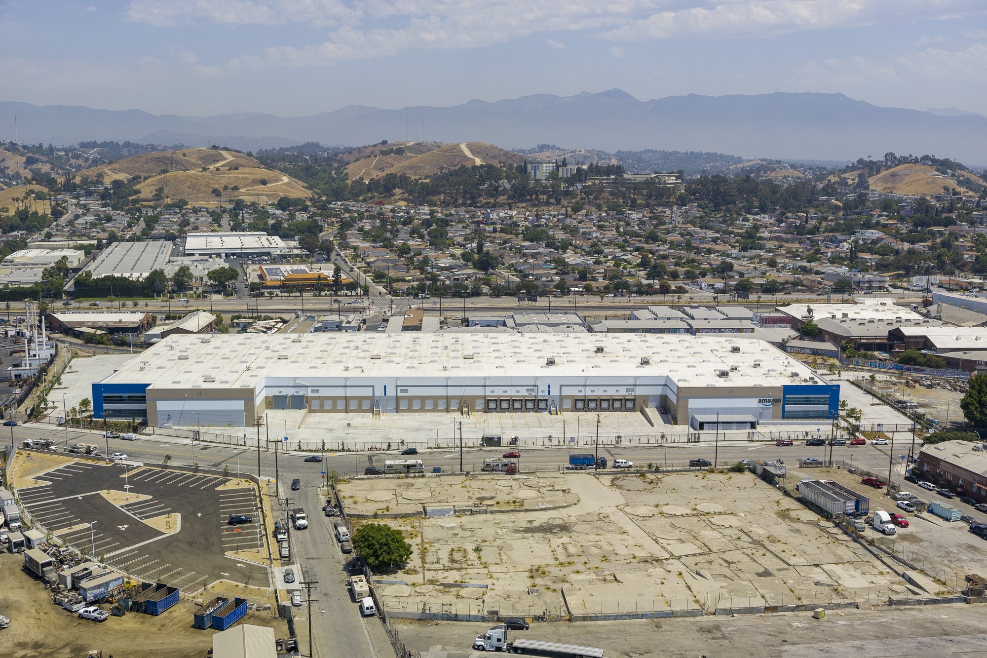
High-res photographs, 3D models, and geo-referenced orthomosaic maps are useful for structure or landscape alterations, access road assessment, and other future planning
-
Detailed 3D models and thermal imaging can help maintenance department detect potential issues before they become a real problem
-
Solar array design feasibility report - Comprehensive solar report will make your energy decisions easier.
-
Photographs and videos are invaluable when attracting new clients
HOW WE CAN HELP
Marketing and Cataloging
We will capture a standardized set of photographs and videos to keep your property portfolio current. We can add overlays, graphics, and edit videos that will fit nicely with your corporate language.
Photography - aerial, ground and interiors
Videos - raw or edited
Mapping - 2D maps and 3D models of properties
HDR photography for the ultimate visual experience
360° panoramas for immersive experiences and virtual tours - exterior/interior

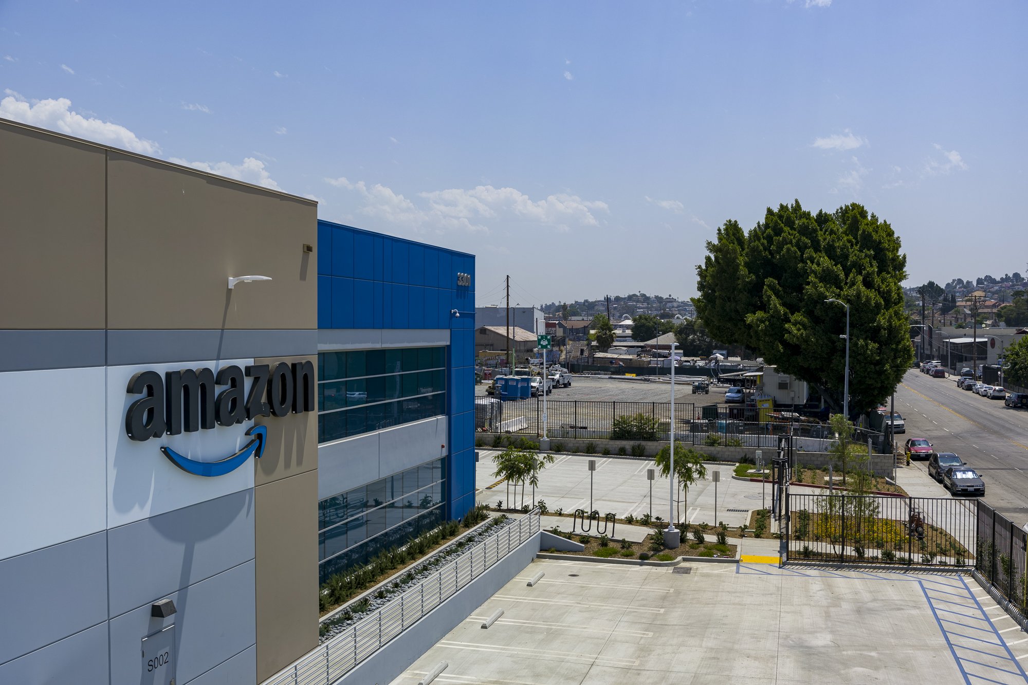
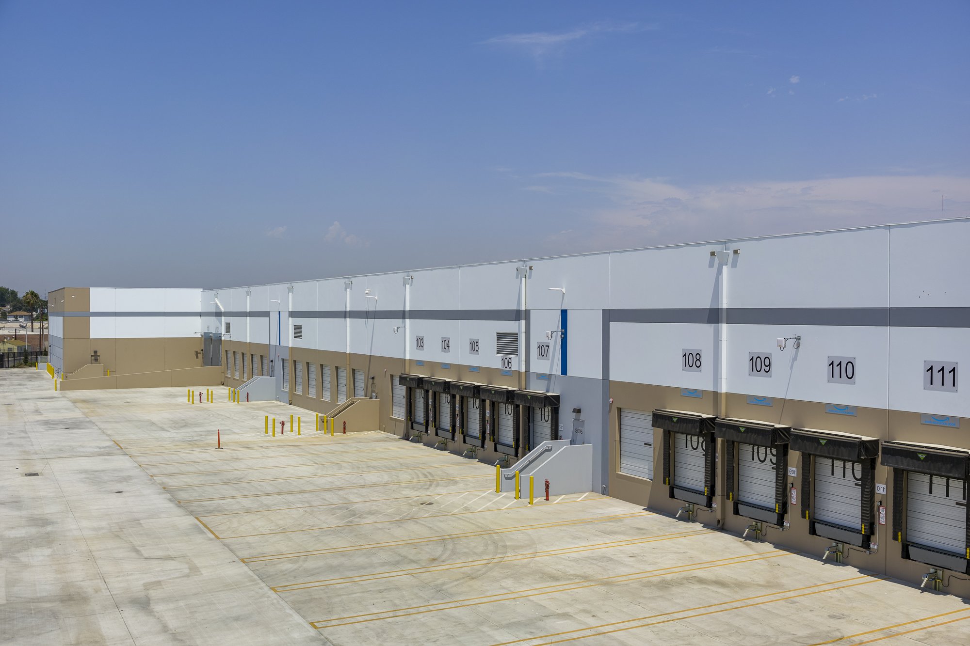
Aerial images

Ground images

Panoramas and overlays - click for 360° panorama view

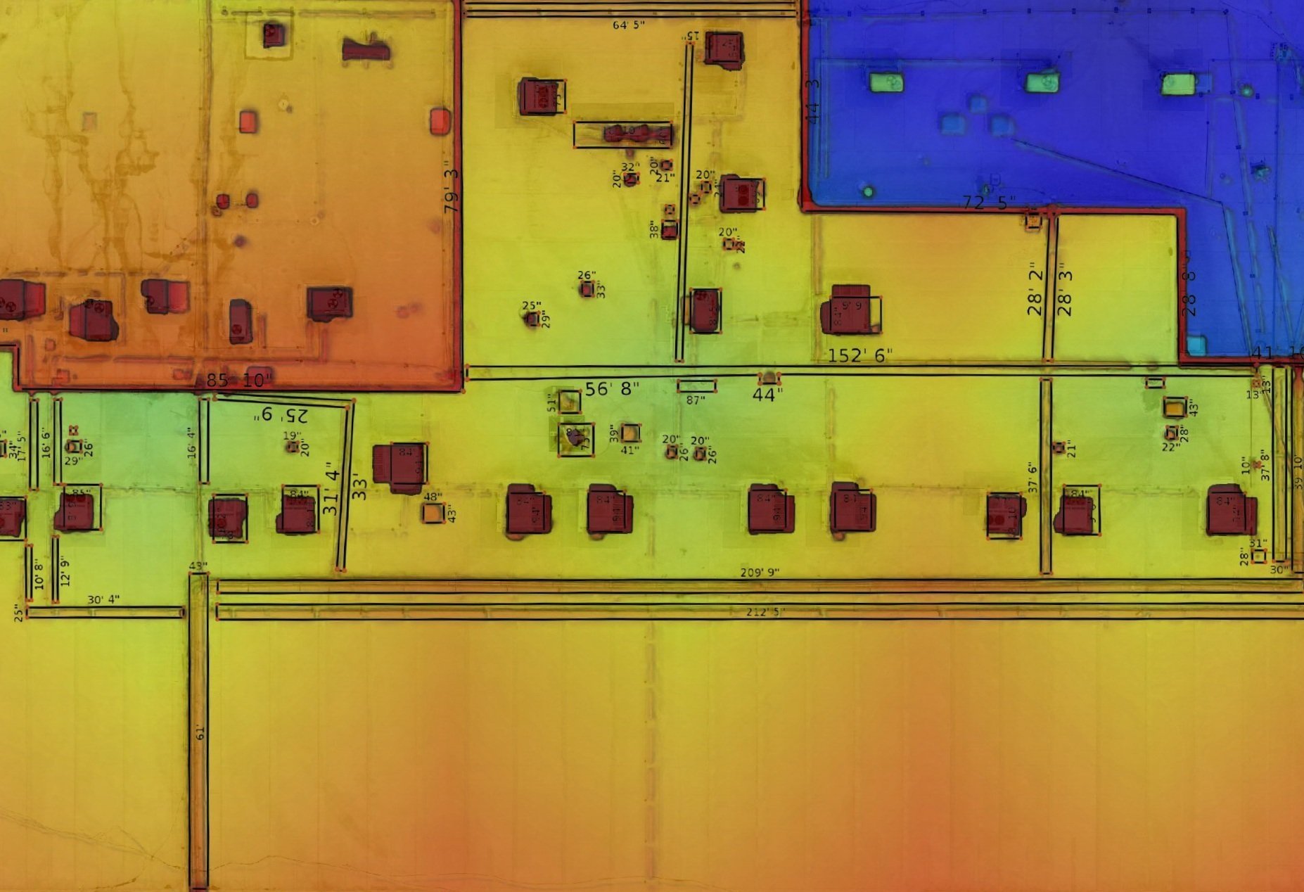
Roof inspection - 20ac property, 10 apartment buildings
Detail of individual rooftop

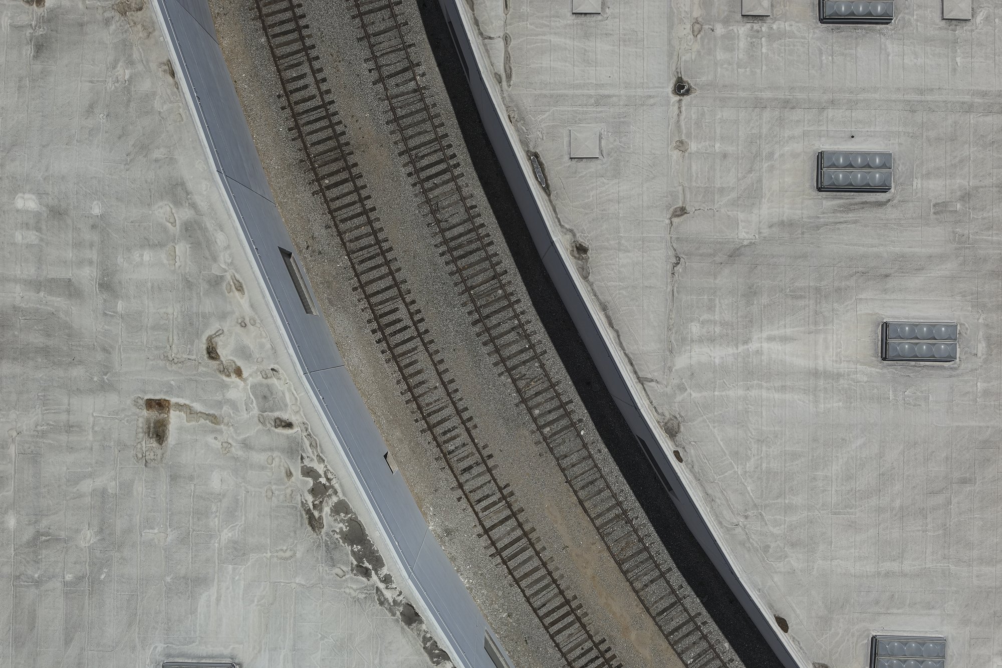
3D models are useful for distance and height measurements
Thermal and visual inspections
Drone imaging can be very useful for detecting potential issues before they become bigger problems later on. Our data can help discover heat or water leaks, cracks in facades, peeling paint, thickness of roofing material, HVAC conditions, and much more. For thermal inspections, our certified operators can create a valuable radiometric dataset to point the roofers to the right spot quickly and effectively.
Problem detection example
Solar inspections and reports
Rooftop-mounted solar arrays are increasingly popular energy solution for large-scale warehouses, sorting facilities, and other large commercial buildings
We acquire the necessary data to produce a detailed map of the roof and 3D model of the property. Our report will allow you to estimate your future energy offset.
For already installed solar systems we can inspect the array for thermal and mechanical issues following the ITC standard.

-

Thermal and visual inspections
Drone imaging can be very useful for detecting potential issues before they become much bigger problems later on. Our data can help discover cracks in facades, water/heat leaks, peeling paint, thickness of roofing material, HVAC condition, and much more. For thermal inspections, our certified operators can create a valuable radiometric dataset to point the roofers to the right spot quickly and effectively.
-
Solar reports
Masek Imaging will acquire necessary data to produce a detailed 3d model of the property. Thermal imaging will help detect water or heat leaks and make it easier for roofers to fix issues effectivel. Solar-specific software by Scanifly will calculate the amount of power your property can generate based on shading calculations and area available for a solar array system

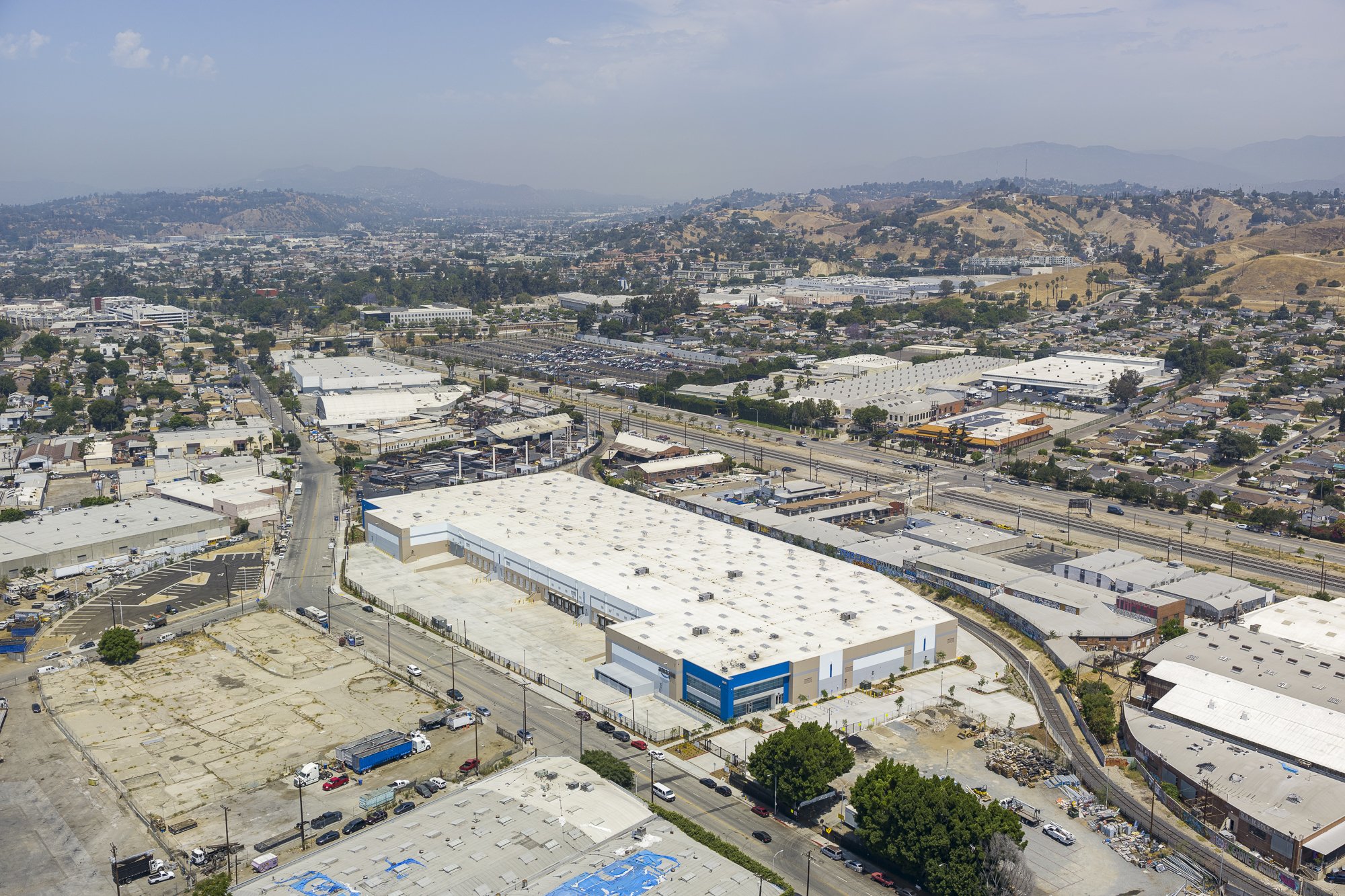
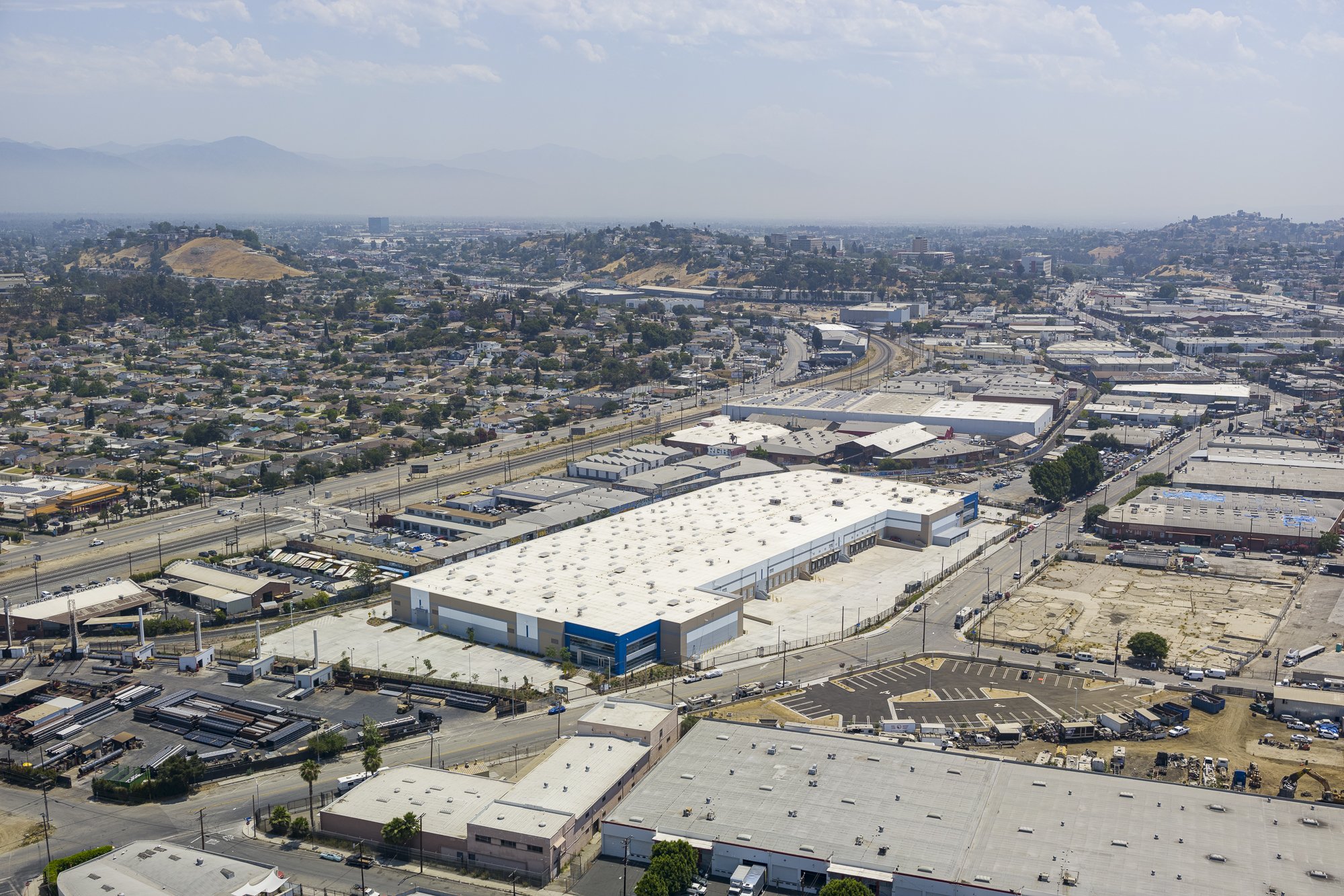
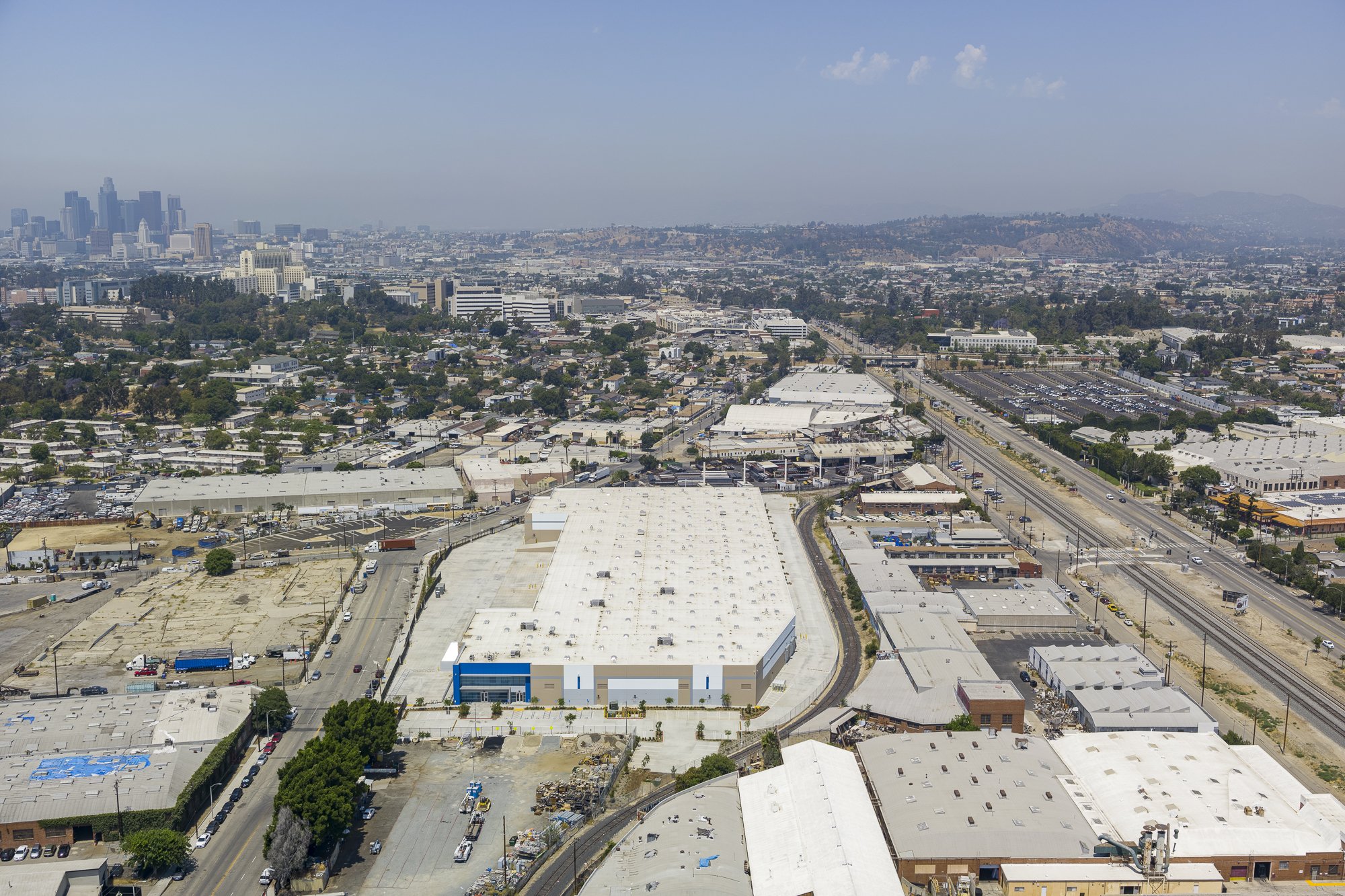
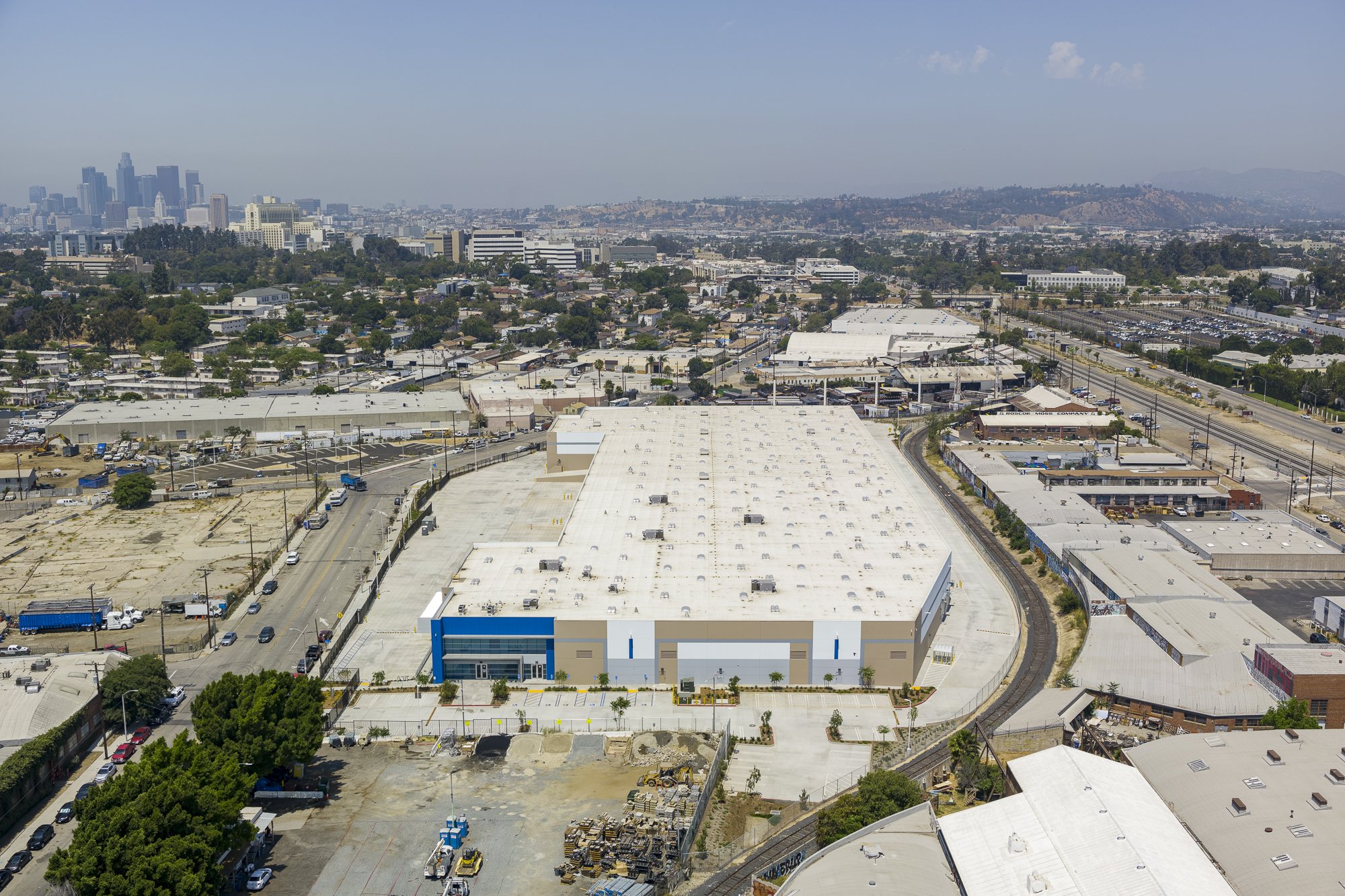
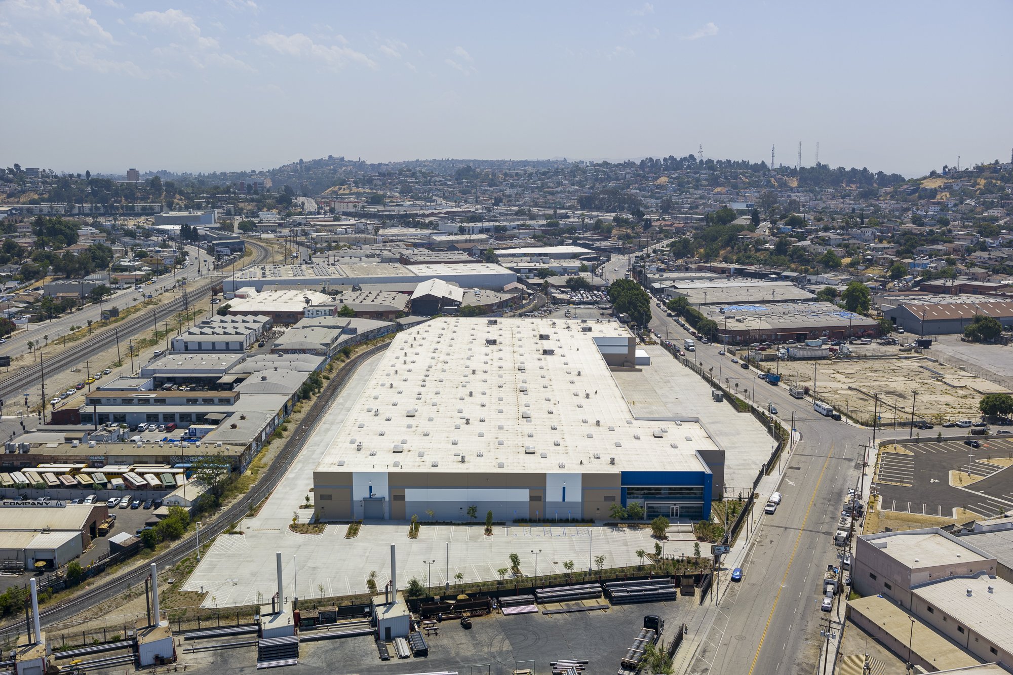
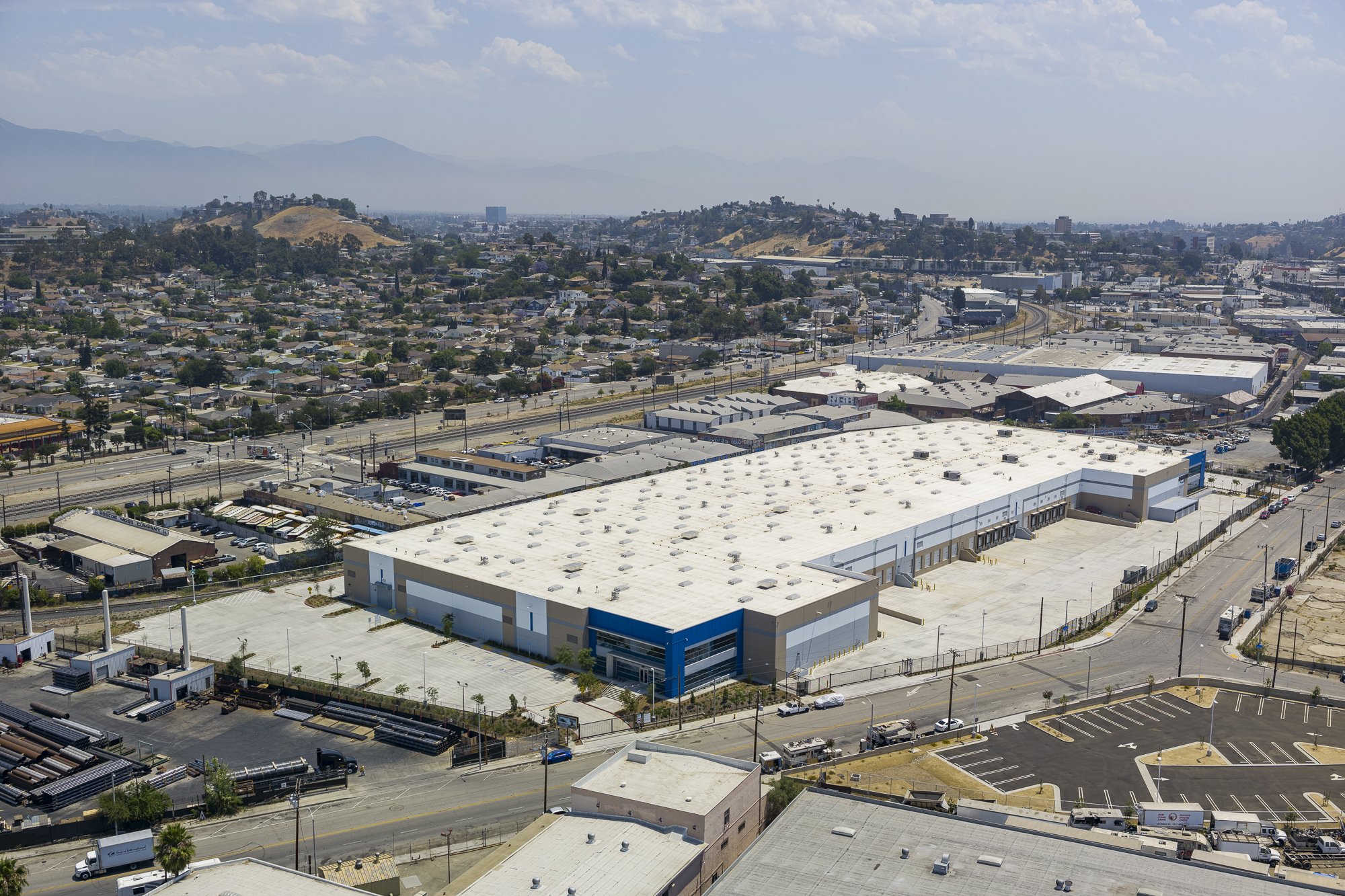
Standard photo package
All examples below were captured by a full-frame DJI P1 sensor capable of 45MP images
Cardinal directions at 400ft

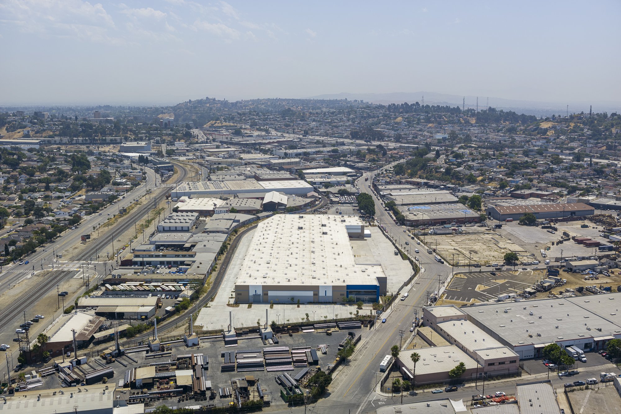

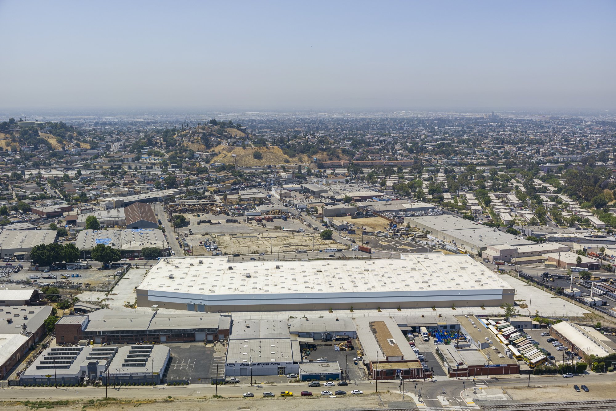

Cardinal directions at 150ft


Additional photos to highlight the property